
Projects
Explore how we combine science, fieldwork, education and collaboration to support ecosystem restoration and long-term management.
Monitoring invasive alien flora in Sicily
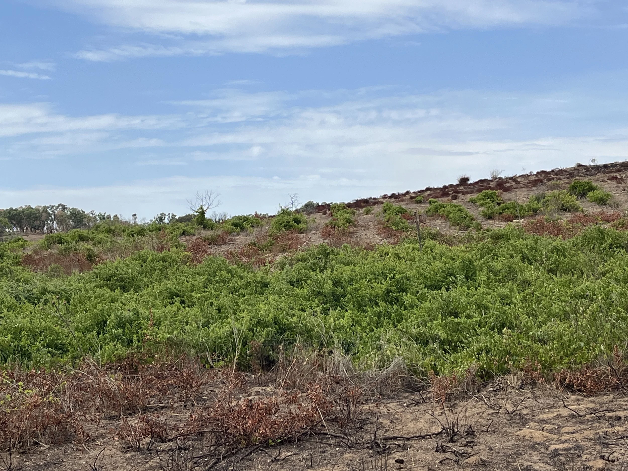
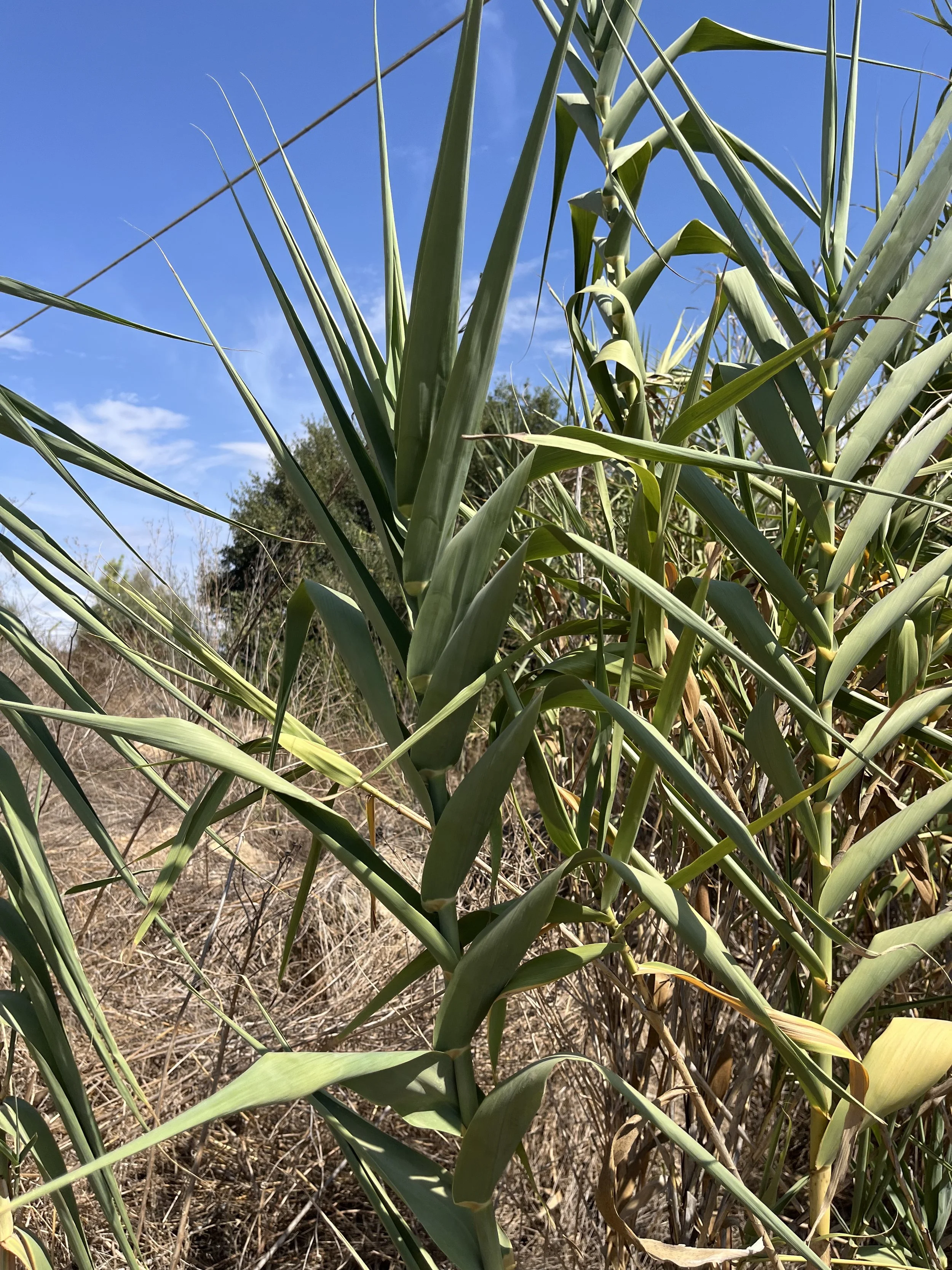
Riparia is currently surveying and monitoring invasive alien plant species across three sites in Sicily. The project combines field surveys, species identification and spatial analysis to establish a robust baseline for future management.
Beyond the project boundaries, the work contributes to preventing the spread of invasive flora and indirectly supports the conservation of surrounding ecosystems, including nearby protected habitats. The data and analyses produced also provide a knowledge base for future management and conservation actions at the wider landscape scale.
Valuate ecosystem services to plan, implement, monitor and manage ecosystem restoration projects
At the University of Parma, Riparia delivered a three-hour seminar for students attending Prof. Rossano Bolpagni’s course on Nature-Based Solutions for Urban and AgroEcosystems.
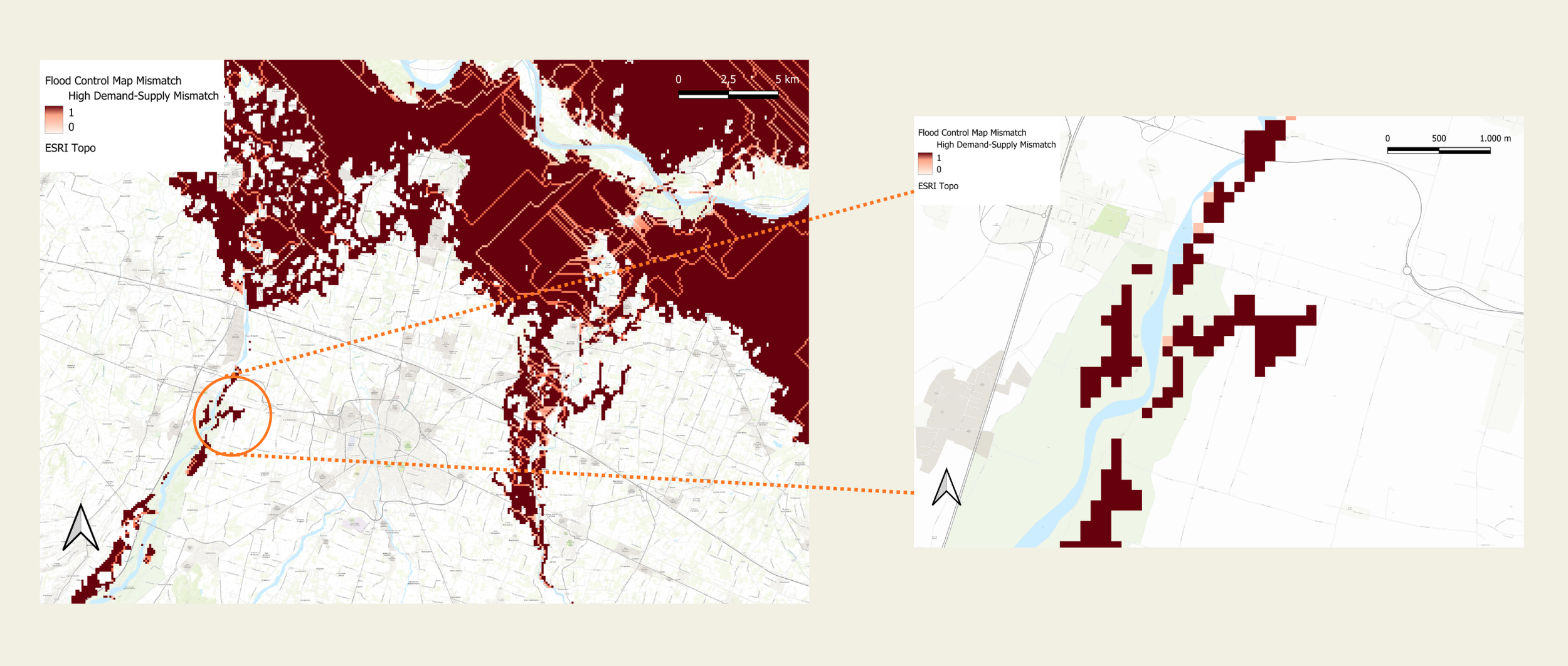
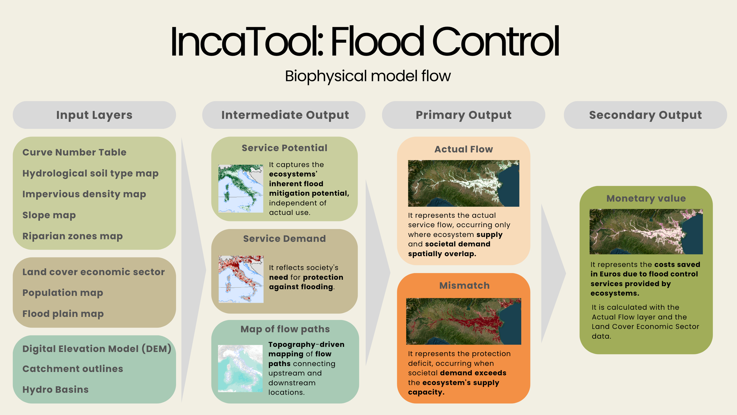
After exploring the UN SEEA Ecosystem Accounting framework and the JRC’s INCA Tool, students worked in groups on a practical case study. Starting from a mismatch between the supply of and demand of ecosystem services for flood protection, they compared potential Nature-Based Solutions, assessed the ecosystem services and beneficiaries each could generate, mapped key stakeholders, and developed an initial monitoring approach.
The session helped bridge the gap between understanding the potential of Nature-Based Solutions and designing an intervention for a real territorial context.
Contact us
Interested in working together? Feel free to contact us via email (see About Us) or fill out some info in this form. We can’t wait to hear from you!